Engineering precision since 1983

Surveying and spatial engineering built around accuracy.

Aylo Engineering provides land surveying, aerial survey, GIS, transportation studies, cartography and technical training services for public- and private-sector projects.

1983 Founded
40+ years Engineering experience
6 Core service areas
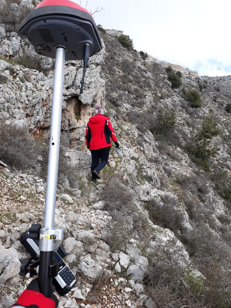
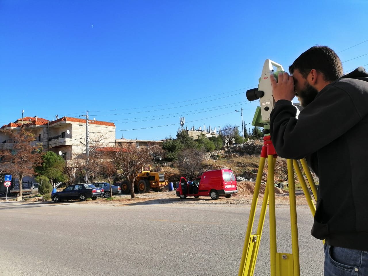
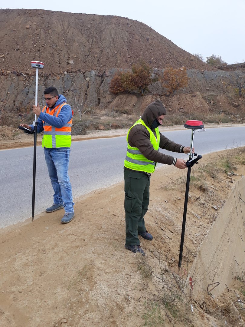
Surveying professional operating a total station in the field
Field surveying · precision measurement

Precision

Technology

Field Experience

Client Focus

About Aylo Engineering

Experience makes the difference in an engineering project.

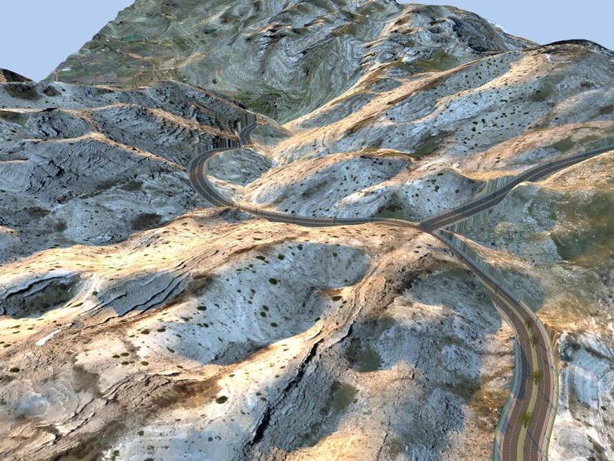
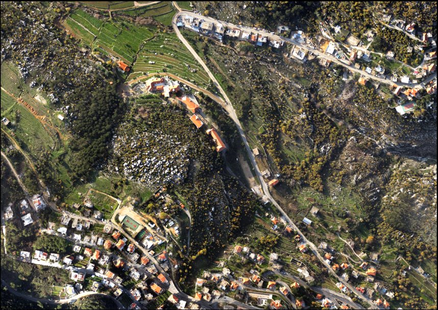
Aerial view of a roadway corridor through mountainous terrain

Established in 1983, Aylo Engineering grew from a small home business into a multidisciplinary engineering company serving projects in Lebanon and beyond.

Our team combines surveying, road and transportation, GIS, cartography and engineering experience with modern field equipment and current engineering software. We focus on accurate deliverables, practical solutions, timely execution and a clear understanding of each client's requirements.

01

Methodology

Structured workflows designed to keep projects accurate, coordinated and on track.

02

Results

A results-oriented approach focused on useful, reliable engineering outputs.

03

Mission

Raise the benchmark through precision, competitiveness, efficiency and professional service.

Our services

Integrated capabilities from field data to final deliverables.

Aylo Engineering supports projects from site measurement and spatial data capture through mapping, analysis, design support and training.

Field surveying team working in mountainous terrain 01

Land Surveying

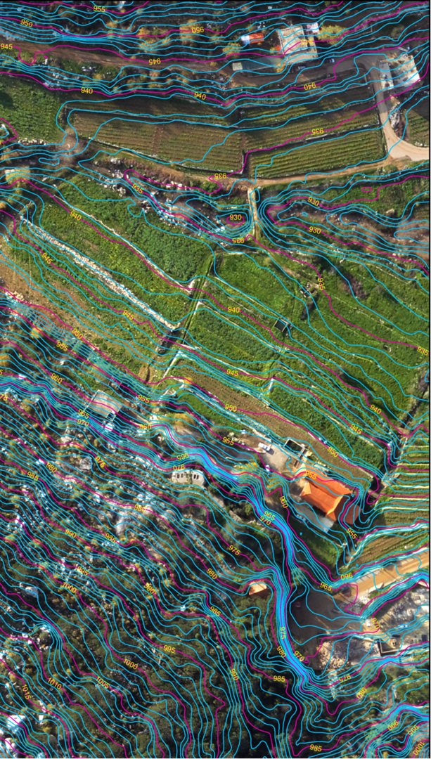
Accurate topographic, engineering, leveling and detailed surveys for residential, commercial, infrastructure and public-sector projects.

  • Topographic & detailed surveys
  • As-built surveys
  • Setting out
  • Cadastral services
  • Subdivision & parcelation
  • Ground control for photogrammetry
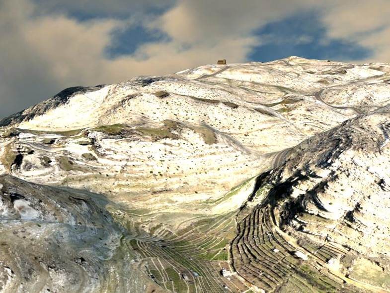
Aerial view of mountainous terrain 02

Aerial Survey

Aerial data capture and photogrammetric workflows for mapping, modeling and georeferenced spatial information.

  • Aerial mapping support
  • Photogrammetric data capture
  • Ground-control integration
  • Spatial modeling inputs
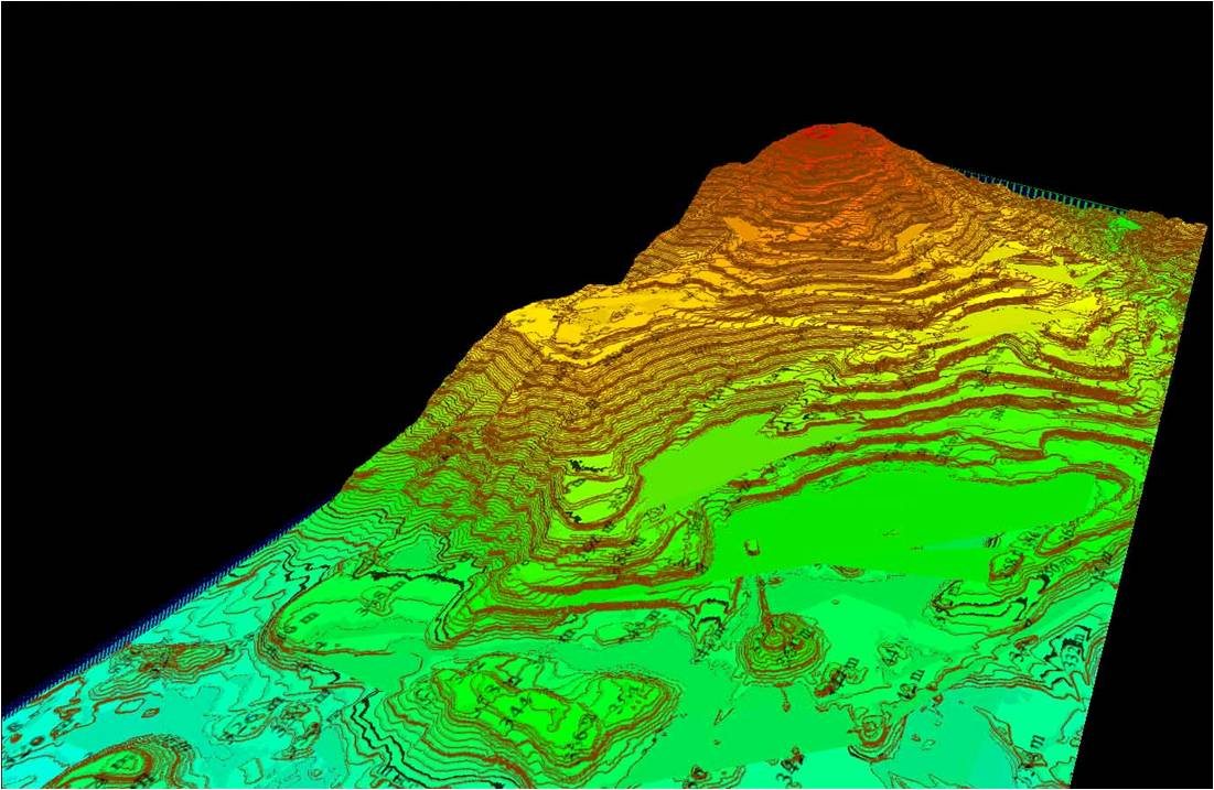
Digital terrain model visualization 03

GIS

Geographic information systems that help municipalities, utilities, NGOs and organizations organize, analyze and communicate location-based information.

  • Data & topological modeling
  • Networks & hydrological modeling
  • Cartographic modeling
  • Map overlay & geostatistics
  • Geocoding & mapping
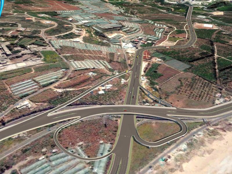
Aerial view of a highway interchange 04

Transportation Studies

Engineering support for road and transportation projects informed by surveying, spatial analysis and multidisciplinary project experience.

  • Road & transportation engineering support
  • Site and corridor data
  • Survey integration
  • Planning and design support
Mapped aerial image of an urban area 05

Cartography

Clear, purpose-built maps designed to communicate geographic information to the audiences that need it.

  • General maps
  • Touristic maps
  • Thematic maps
  • 3D maps
  • Custom mapping projects
Technical training session in a classroom 06

Technical Training

Tailored, practice-oriented training built around the software, workflows and real-world tasks relevant to each group.

  • AutoCAD Civil 3D
  • GIS training
  • Customized training plans
  • Hands-on practical sessions

Experience & growth

Four decades of building capability.

The company has expanded its services over time while maintaining surveying as a foundation for accurate engineering work.

  1. 1983

    Aylo Engineering founded

    The company begins with a focus on professional surveying services.

  2. 2006

    Cartography & GIS added

    Spatial data, mapping and geographic information capabilities expand.

  3. 2011

    Aerial survey & transportation

    Aerial survey and transportation services are added, together with GIS and AutoCAD Civil 3D training.

  4. 2015

    Building-services capability

    The company broadens its multidisciplinary engineering offering.

Selected project experience

Real projects from the Aylo Engineering archive.

The projects below are drawn from the original Aylo Engineering website and span surveying, GIS, aerial survey, road design and transportation work.

Digital terrain model representing GIS project work
GIS

GIS

  • Dhour Shweir–Ain Sendyene MunicipalityGIS drawings and data preparation · 2018
  • Litani River AuthorityGIS training · USAID–DAI · 2017
  • Bekaa, North & South Water EstablishmentsGIS training · USAID–EYH · 2014
  • MunicipalitiesGIS software implementation · USAID–MSI · 2014
Aerial terrain imagery representing aerial survey project work
Aerial Survey

Aerial Survey

  • Hosrayel agricultural lotsAerial survey · 2019
  • Bchellamah–Zahle–Saadnayeil–Aintoura–Hazirta diversionAerial survey · 2018–2019
  • Hrajel aerial surveyGCP collection, contours, road design and 3D animation
  • Khenchara–Jwar aerial surveyGCP collection, contours, poster and 3D animation
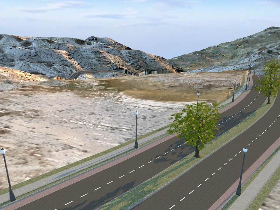
Roadway design visualization representing transportation project work
Road Design & Transportation

Road Design & Transportation

  • Bchellamah–Zahle–Saadnayeil–Aintoura–Hazirta diversionSurveying, road design and rehabilitation · 2018–2019
  • Kornet Chehwan–Daher road designRoad design · 2018–2019
  • Khenchara roads rehabilitationRoad rehabilitation · 2017–2019
  • Bahrain International AirportLandside road design · 2014
  • Saida interchangeRoad / interchange work · 2014
  • Aamchit10 km road design · 2012
  • Urban freeway left-side rampsCrash-frequency research · 2010
  • Ohio roundaboutsSafety and operational impact study · 2009
  • U.S. loop detector surveyTransportation research · 2009
  • Jaj–Lehfed–Mayfouk20 km road design · 2001
  • Hboub7 km road design · 1996
Field surveying in mountainous terrain representing surveying project experience
Surveying & Other Projects

Surveying & Other Projects

  • Kornet Al Hamra subdivisionSubdivision work · 2018–2019
  • Holcim KefrayaDetailed survey · 2017
  • Safra subdivisionSubdivision work · 2013
  • Atcheneh MunicipalitySurveying works · begun 2013
  • Mar Chaaya subdivisionSubdivision work · 2013
  • Baskinta subdivisionSubdivision work · 2012
  • Jbeil6 km highway design using GIS · 2012
  • Kornet Chehwan MunicipalitySurveying works · begun 2010
  • Golf-field designArcScene 3D modeling · 2010
  • GIS Safety AnalysisApplication development · 2010
  • Khiam, Al JanoubGeneral map
  • Banque du LibanSurveying works · begun 2005
  • Mechmech villagePreliminary and final land survey · begun 2012
  • Terrain numerical-model workCalculation and comparison · begun 2005
  • AtchanehSubdivision and 0.5 km² road design · 2007
  • Halat1 km² subdivision, road design, excavation supervision and surveying · 2004–2006
  • Hboub3 km² subdivision, road design, excavation supervision and surveying · 1995
  • S.E.G.Surveying works · 1982–1990
  • Additional field assignmentsSetting-out, elevation and as-built projects
Aerial terrain project image
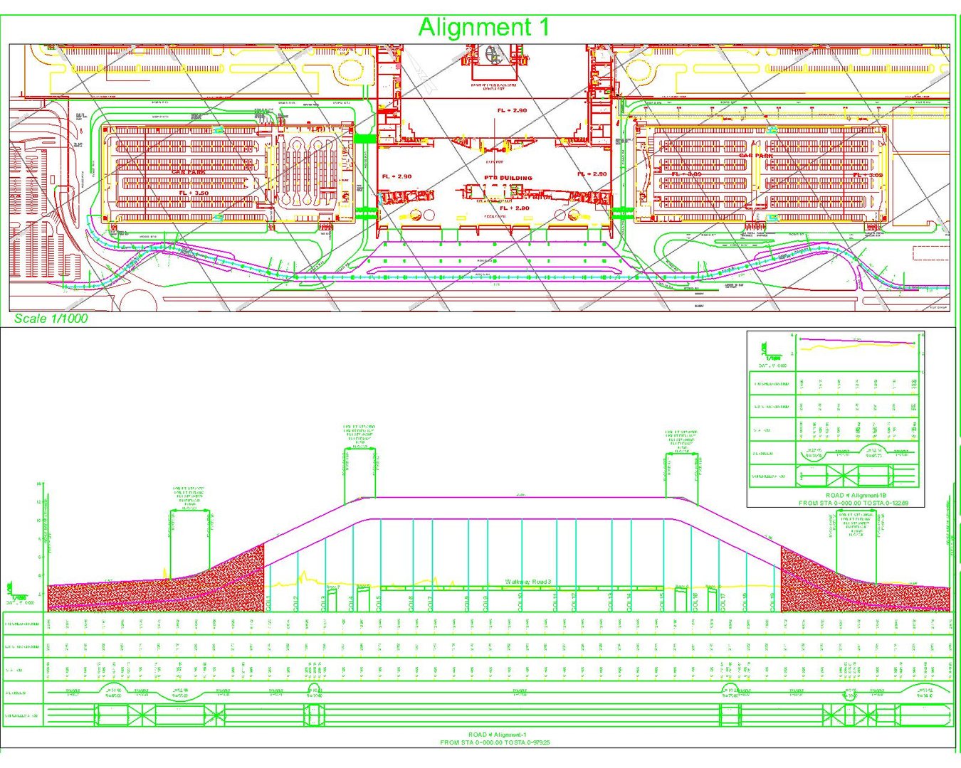
Engineering drawing from the company archive
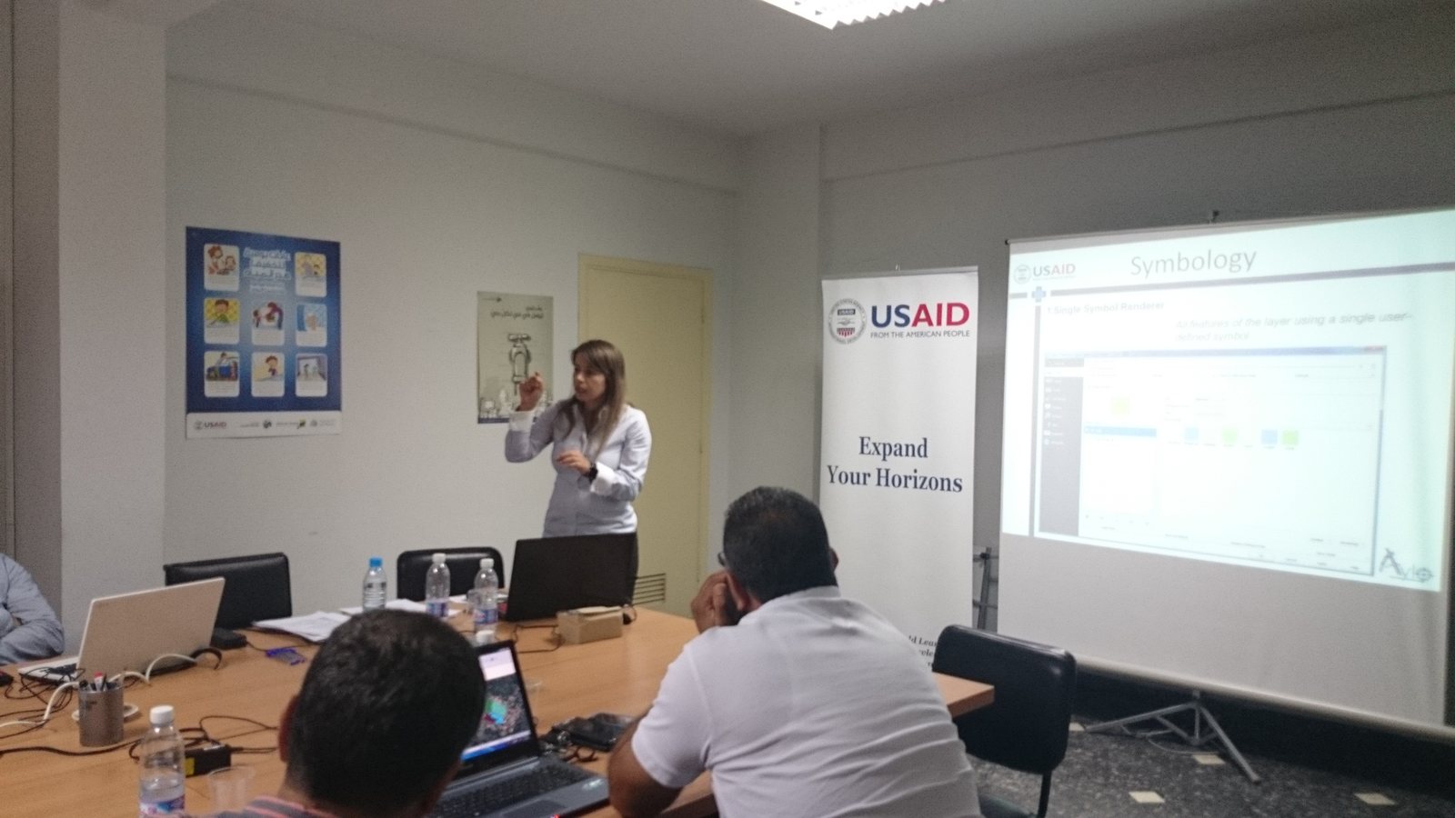
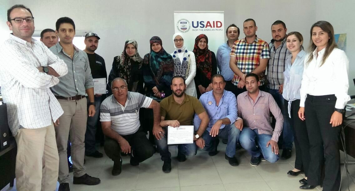
Technical training group from the company archive
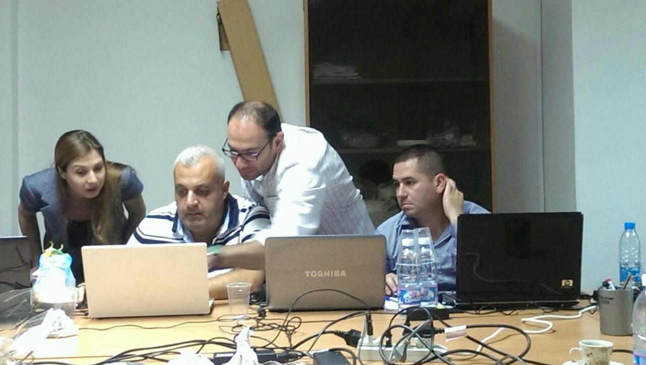
Applied software training session from the company archive

Leadership

Engineering experience across disciplines.

Aylo Engineering's leadership reflects the surveying, transportation, GIS and mechanical-engineering background behind the firm's work.

Rizkallah Aylo seated at a desk
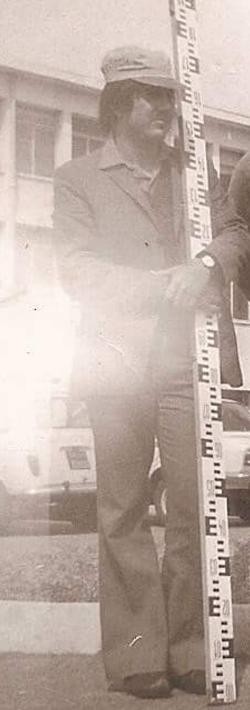
Archival photograph of Rizkallah Aylo conducting field surveying work

Founder

Rizkallah Aylo

Company founder and experienced surveying professional who established Aylo Engineering in 1983. The leadership profile includes both a current portrait and an archival field-survey image from the company’s early years.

Portrait of Aline Aylo

Partner

Aline Aylo

Road and transportation engineer with graduate-level engineering education and additional background in GIS and surveying engineering.

Portrait of Rana Aylo

Partner

Rana Aylo

Mechanical engineer contributing multidisciplinary engineering experience to the firm.

Contact

Tell us about your project.

For service inquiries, project discussions or general questions, contact Aylo Engineering.

Fax
+961 4 925 999
Office
Bldg. 1, Street 21, Kornet Chehwan, Matn, Lebanon
Get directions

Careers

Interested in joining the team?

Send your CV and a short introduction to hr@ayloengineering.com.

Your message will be submitted securely through the website.